
Business Details
50+ Years
experience
Trusted Land Surveying Services in Vancouver, BC
Bennett Land Surveying has been serving British Columbia since 1970, providing comprehensive land surveying solutions to residential and commercial clients. Our team of certified professionals combines over 40 years of local and global experience with state-of-the-art technology to deliver precise property boundary determinations, construction surveys, and drone-based data collection. We specialize in subdivision plans, building location certificates, and topographic mapping, supporting projects ranging from individual lot surveys to complex infrastructure developments. As members of the Association of British Columbia Land Surveyors, we maintain the highest industry standards for accuracy and compliance. Our regional offices across the Lower Mainland, Vancouver Island, and the Okanagan ensure timely service delivery for both small-scale renovations and large-scale developments.We prioritize client collaboration, offering tailored solutions that meet municipal requirements while preserving landscape features. Our investment in UAV technology and photogrammetry enables cost-effective, high-resolution surveys for diverse applications. With a proven track record of reliability demonstrated through long-term client relationships, we provide digital and printed deliverables that integrate seamlessly with architectural and engineering workflows. Our commitment to efficiency and technical excellence has made us a trusted partner for property owners, contractors, and municipalities throughout British Columbia.

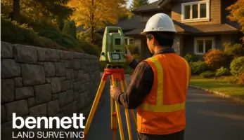
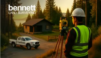
Services
Air Space Plans
As-Built Surveys
Building Location Certificates
Construction Surveys
Drone Surveying
Property Lines
Subdivision Plans
Topographic Surveys
3D Scanning
Monitoring Surveys
Details
- Year established: 1970
Highlights and features
- We have over 40 years of experience providing land surveying services in British Columbia
- Our team uses state-of-the-art equipment and drone technology for precise measurements
- All surveyors are certified by The Association of British Columbia Land Surveyors
- We offer comprehensive service across 20+ regional locations throughout British Columbia
- We deliver both digital and printed survey plans that integrate with architectural workflows
Associations and certifications
- The Association of British Columbia Land Surveyors
What people say
On schedule
Professional
Easy to deal with
Unbeatable efficiency
State-of-the-art equipment
Services
Land Surveying
Bennett Land Surveying provides comprehensive boundary determination and mapping services for residential and commercial properties. Our certified surveyors use advanced GPS and total station equipment to create precise property line documentation, subdivision plans, and building location certificates. We support real estate transactions, development projects, and municipal compliance requirements with detailed survey plans that meet legal standards.
Drone Surveying
Our drone surveying service utilizes unmanned aerial vehicles equipped with high-resolution cameras and LiDAR sensors to capture detailed topographic data. This technology enables efficient site mapping, volume calculations, and 3D modeling for construction monitoring and land development projects. Photogrammetry processing converts aerial imagery into accurate digital elevation models and orthomosaic maps that integrate with engineering software.
Building Location Certificates
We produce official building location certificates required for property transactions and renovations. These surveys show property boundaries, structure positions, and encroachments relative to legal plans. Our digital documentation includes topographic details needed for zoning compliance and variance applications, delivered electronically to legal and municipal authorities.
Construction Surveys
Our construction survey services establish precise reference points for building projects using robotic total stations and GPS technology. We provide stakeout services for foundations, utilities, and infrastructure improvements, ensuring alignment with approved plans. Regular monitoring surveys verify dimensional accuracy throughout the construction process for residential and commercial developments.
3D Scanning
Bennett's 3D laser scanning service captures detailed as-built conditions of buildings and infrastructure. The technology creates point cloud datasets that support renovation planning, structural analysis, and BIM integration. Our surveyors process scan data into accurate 3D models for architects, engineers, and contractors working on complex building projects.
Questions
What types of surveying services does Bennett provide?
We offer property boundary surveys, building location certificates, construction surveys, drone mapping, 3D scanning, subdivision plans, and monitoring services for residential and commercial projects.
Do you serve areas outside Vancouver?
Yes, we have regional offices in Victoria, Kelowna, Surrey, and 15+ other locations across British Columbia, serving the Lower Mainland, Vancouver Island, and Okanagan regions.
How does drone surveying benefit my project?
Drone technology provides faster data collection, reduced costs, and detailed aerial mapping capabilities for site analysis, volume calculations, and progress monitoring compared to traditional methods.
What information do I need for a building location certificate?
We require property legal descriptions, existing survey plans, and land title office records to create accurate building location certificates that meet municipal and banking requirements.
Are your surveyors certified?
All our surveyors hold active membership with The Association of British Columbia Land Surveyors, ensuring compliance with provincial standards and professional accountability.